Iroa: Difference between revisions
Phoenia652 (talk | contribs) |
Phoenia652 (talk | contribs) |
||
| Line 34: | Line 34: | ||
==Geography== |
==Geography== |
||
| − | Iroa is located in southeastern Kolus as part of the Kulge subcontinent. It lies between longitudes -140 and -117 and latitudes 19 and -5 making it an equatorial country, with the equator passing through Basrah, Kermanshah and Khwarazm provinces. |
+ | Iroa is located in southeastern Kolus as part of the Kulge subcontinent. It lies between longitudes -140 and -117 and latitudes 19 and -5 making it an equatorial country, with the equator passing through Basrah, Kermanshah and Khwarazm provinces. |
| + | |||
| + | Iroa has an abundance of lakes with 75 being currently known. A large portion of these are lakes located at Iroa's mid latitudes and are fed by groundwater and supplied by runoff from the Karas range. The oasis communities of Adish, Gaineamh and Gali rely on the freshwater from these bodies. Iroa's largest lake is lake Sarafraz in Hafazat province. |
||
| + | |||
| + | Iroa also contains a number of small islands in two main arcs... |
||
| + | |||
| + | The highest peak is the grand Kara, located at [coordinates] with an elevation of 5914 meters above sea level, making it the ?th tallest peak on Kerbin. |
||
===Climate === |
===Climate === |
||
Revision as of 04:32, 12 December 2024
|
Iroan Republic
جمهوری ایروا
Jamehori Ayroa |
|||||
|---|---|---|---|---|---|
 |
|||||
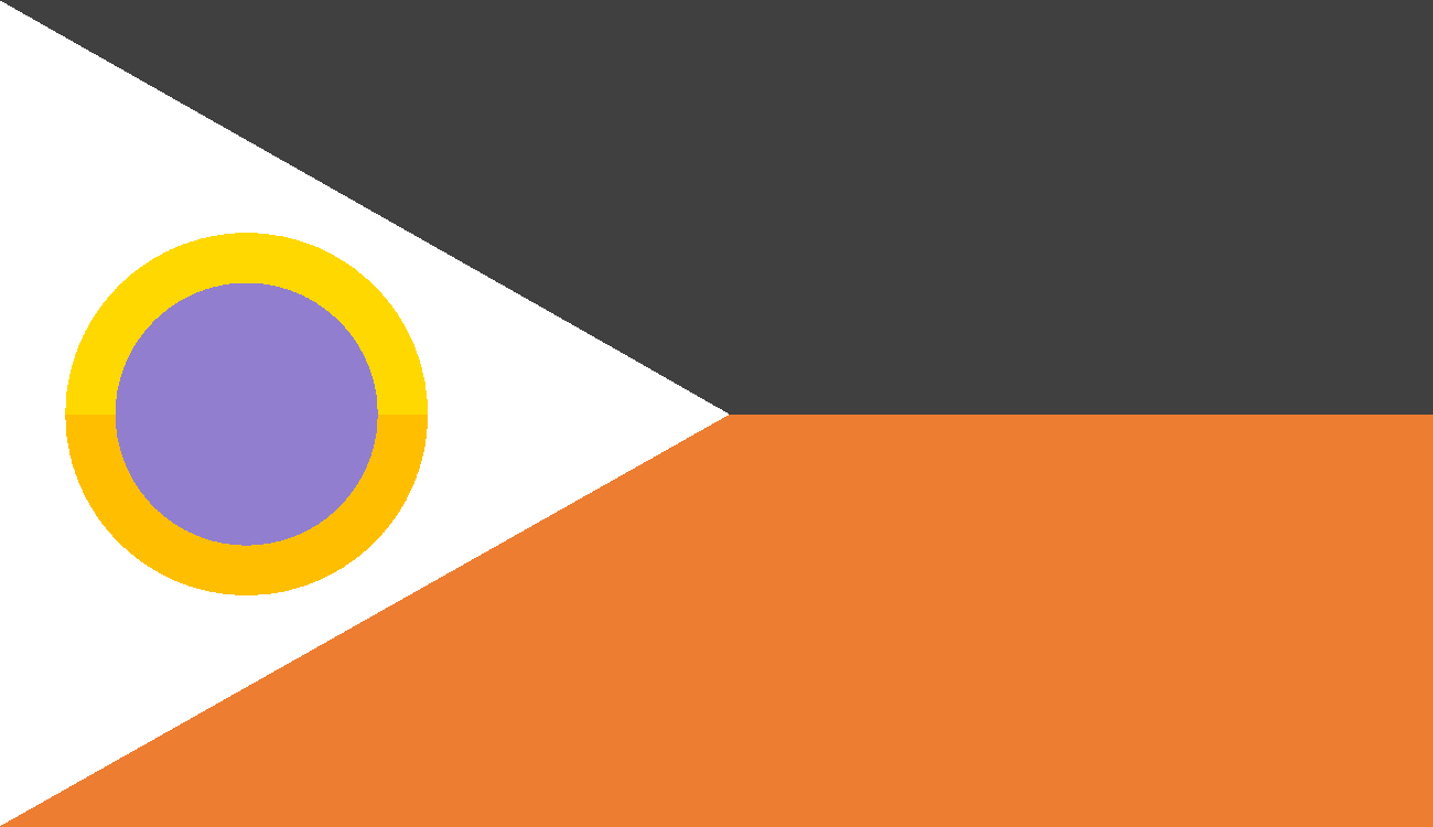
| The flag of Iroa, featuring its national symbol. | |||||
| Motto | "Bah jelo ba npam: Dar azadi" "Forward together; Free" |
||||
| Common Name | Iroa | ||||
| Anthem | "Vatanam" | ||||
 |
|||||
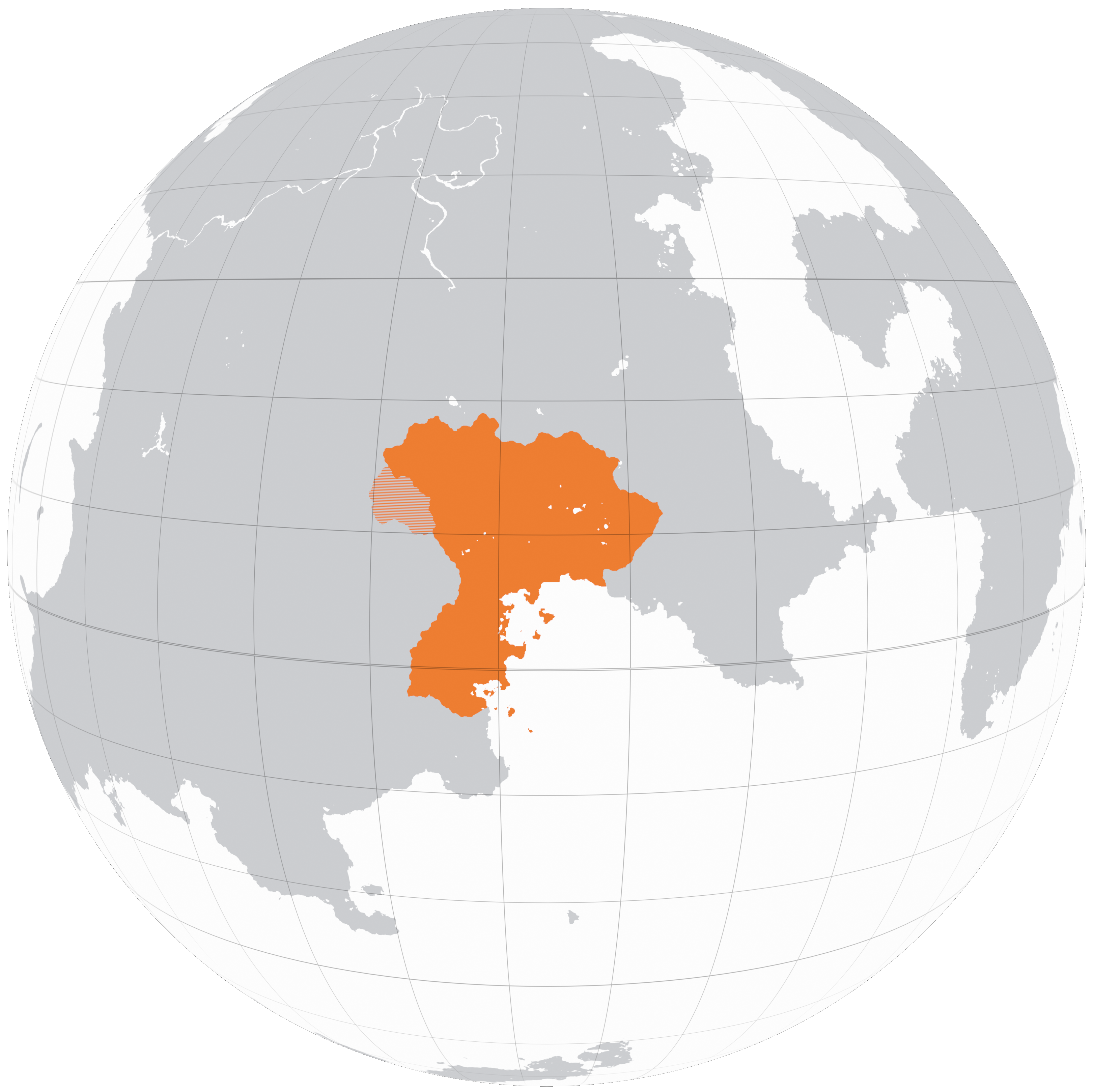
| A map of Iroa in Kolus, 2200 | |||||
| Demonym | Iroan | ||||
| Official languages | Granas, Basra | ||||
| Currency | Rút | ||||
| Politics | |||||
| Capital | Maslouf | ||||
| Government | Devolved unitary parliamentary republic | ||||
| Foundation | 2122 (Declaration of Independence) 2127 (Formal Recognition) |
||||
| First Minister | Soleiman Kobani | ||||
| Preceded by | Granderia, Arcovdonia, Phoenia | ||||
| Demography | |||||
| Ethnicities | Granas - 48.8% Basra - 29% Iro Wuster - 5.1% Vagani - 5% Basargu - 4.5% Carsodon - 3.8% Tekkian - 3.4% Parast - 0.6% Wuster - 0.1% |
||||
| Population | 5,264,395 | ||||
| Area | 36,527 km² | ||||
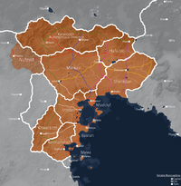
Iroa, officially the Iroan Republic is a country located in southeastern Kolus, founded in 2127 following a democratic revolution in 2122. It is a moderately sized country, the fifth largest in Kolus after Arcovdonia and before Nuvastia, covering an area of 36,527 square kilometers. As of 2200, following the annexation of the remnants of Carsodonia, the Republic consists of 11 provinces (velayat) further divided into governorates (estandari) and sometimes special districts (shahrestan). Notable cities include the capital: Maslouf, Iroa city, Mede, Marea and Taezh.
Iroa borders the Tekkian client state Granderia, and Sahrland to the east, and together with these nations is a member state of the Federation of Greater Aontas. To the southeast Iroa borders the Gulf of Iro from which it derives its namesake, the coastline featuring many peninsulas and islands, on which 71.4% of Iroa's population of 5,264,395 reside. Beyond the Karas mountain range which serves as Iroa's northern border are a collection of nomadic Koloan tribes which are known to make occasional raids. To the west, a region termed "al-Nufayat" (Vanadii, lit. "the wastes") lay to the west, rife with insurgency and smuggling. Lastly in the south, Iroa is in contact with the UIF treaty port of Qadae and parts of the Confederation which speak Iroan dialects.
Iroa's history dates back to ancient times, encompassing a variety of nation building projects, the rise and fall of both locally dominating and foreign occupying empires vying for the region. The modern Republic is best characterized as a middle power, lacking the ability to far reaching or wider regional military and economic power, but enough to be substantially involved in its immediate vicinity through diplomacy and the occasional small conflict.
Etymology
The mythology of early Koloan and Proto-Iroan tribes who inhabited the plains of central Kolus held supernatural explanations for climate phenomena . The Karas mountain range which bounds the Gaineamh tropical desert, the only one of its kind on Kerbin and hostile to their way of life represented region cursed by spirits, or "Al-arwah," which eventually through language drift came to describe the region itself.
| “ | "...and so it was the hero Malik and his noble band would enter. Awaiting them, 40 days and 40 nights of trial in the land of Alarwah" | ” |
| —, Ancient Koloan tablet | ||
Geography
Iroa is located in southeastern Kolus as part of the Kulge subcontinent. It lies between longitudes -140 and -117 and latitudes 19 and -5 making it an equatorial country, with the equator passing through Basrah, Kermanshah and Khwarazm provinces.
Iroa has an abundance of lakes with 75 being currently known. A large portion of these are lakes located at Iroa's mid latitudes and are fed by groundwater and supplied by runoff from the Karas range. The oasis communities of Adish, Gaineamh and Gali rely on the freshwater from these bodies. Iroa's largest lake is lake Sarafraz in Hafazat province.
Iroa also contains a number of small islands in two main arcs...
The highest peak is the grand Kara, located at [coordinates] with an elevation of 5914 meters above sea level, making it the ?th tallest peak on Kerbin.
Climate
Geology
Iroa is situated in a geologically active area, sharing much of its oceanic border with the Kulge Megathrust, a convergent boundary in which the oceanic crust of the Caledon plate subducts beneath the continental crust of the Kolus Plate.
Iroa consists broadly of three geological regions. The coastal region with its islands and peninsulas is the result of the obduction of the larger Medearea hotspot volcanic island arc onto the coastal margins of the Kulge subcontinent. The Basrah and Maslouf peninsulas are the result of 2 or 3 of the islands of the former chain making direct contact with the coast, with the remaining islands attached to the continental shelf. This collison resulted in the small Ghaznav and Kirtesh orogenic belts and their associated fold and thrust belts. Also in this region are a number of lateral strike-slip faults which occasionally cause small earthquakes.
The central region is characterized by the Granas sedimentary basin...
The Karas range and its valleys define the northernmost geological division of Iroa...
