Doren (continent): Difference between revisions
Jump to navigation
Jump to search

mNo edit summary |
|||
| (4 intermediate revisions by 2 users not shown) | |||
| Line 3: | Line 3: | ||
|map = Doren_Globe.png |
|map = Doren_Globe.png |
||
|mapdesc = [mapdesc] |
|mapdesc = [mapdesc] |
||
| − | |area = |
+ | |area = 965,881 |
|denonym = Dorvic |
|denonym = Dorvic |
||
|nations = [nations] |
|nations = [nations] |
||
| − | | |
+ | |tz_west = [[CDT]] (Central Doren Time)|tz_east = [[ZST]] (Zokesian Standard Time) |
| − | |population = |
+ | |population = ~375,000,000 |
|languages = [languages] |
|languages = [languages] |
||
}} |
}} |
||
| − | '''Doren''' is a continent spanning both the northern and southern hemispheres of [[Kerbin]]. It is the largest continent in the world by both land area and population. Doren is bordered by the [[Central Sea]] on the north east, [[Baskay-Caledon|the Lesser and Greater Baskay Bays]] to the south, and the [[Tau Sea]] to the north west. The geographic border between Doren and [[Veiid]] is located roughly at the thinnest section between these two bodies of water, but the exact accepted line is a historical construct and is relatively arbitrary. Doren is also connected by land to [[Baskay-Caledon]] to the east and [[Firesvar]] to the far north. |
+ | '''Doren''', also occasionally known as '''Ravniny''', is a continent spanning both the northern and southern hemispheres of [[Kerbin]]. It is the largest continent in the world by both land area and population. Doren is bordered by the [[Central Sea]] on the north east, [[Baskay-Caledon|the Lesser and Greater Baskay Bays]] to the south, and the [[Tau Sea]] to the north west. The geographic border between Doren and [[Veiid]] is located roughly at the thinnest section between these two bodies of water, but the exact accepted line is a historical construct and is relatively arbitrary. Doren is also connected by land to [[Baskay-Caledon]] to the east and [[Firesvar]] to the far north. |
== History == |
== History == |
||
=== Second Continental War and the Shattering === |
=== Second Continental War and the Shattering === |
||
| Line 62: | Line 62: | ||
|[[File:Seifare_Flag_4K.png|border|center|40x20px]]||[[Seifare]]||44,328||498 km²||2116-||Feguanesia |
|[[File:Seifare_Flag_4K.png|border|center|40x20px]]||[[Seifare]]||44,328||498 km²||2116-||Feguanesia |
||
|- |
|- |
||
| − | |[[File: |
+ | |[[File:Zeoul_Flag.png|border|center|40x20px]]||[[Zeoul]]||6,969,900||21,781km²||2152-2153||South Doren |
|- |
|- |
||
|} |
|} |
||
Latest revision as of 16:38, 9 October 2024
This page is a draft and is still being written. You can help by completing it.
Not to be confused with Doren (nation).
|
Doren
|
|||||
|---|---|---|---|---|---|
 |
|||||
| [mapdesc] | |||||
| Area | 965,881 km² | ||||
| Denonym | Dorvic | ||||
| Nations | [nations] | ||||
| Time Zones | |||||
| CDT (Central Doren Time) to ZST (Zokesian Standard Time) | |||||
| Demography | |||||
| Population | ~375,000,000 | ||||
| Languages | [languages] | ||||
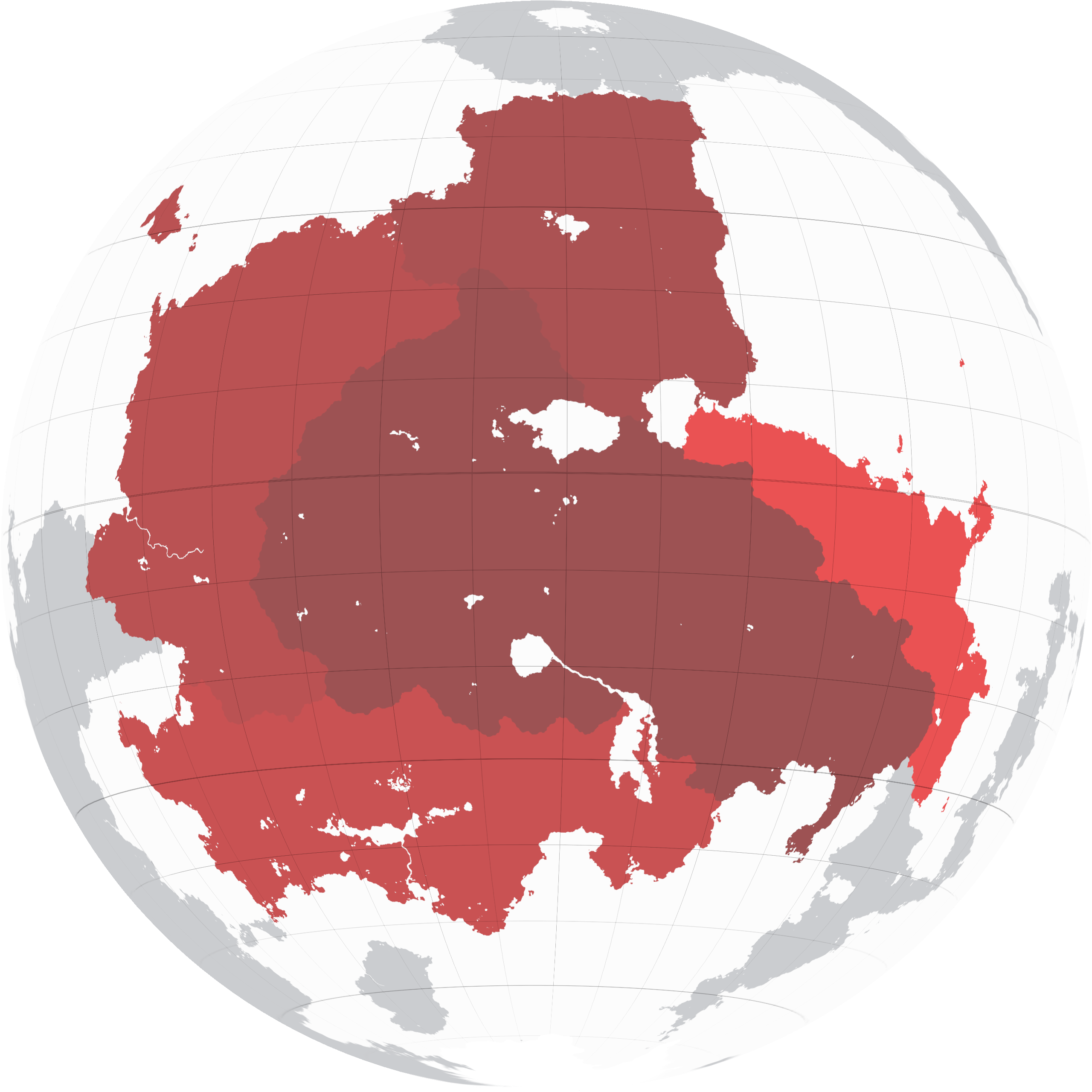
Doren, also occasionally known as Ravniny, is a continent spanning both the northern and southern hemispheres of Kerbin. It is the largest continent in the world by both land area and population. Doren is bordered by the Central Sea on the north east, the Lesser and Greater Baskay Bays to the south, and the Tau Sea to the north west. The geographic border between Doren and Veiid is located roughly at the thinnest section between these two bodies of water, but the exact accepted line is a historical construct and is relatively arbitrary. Doren is also connected by land to Baskay-Caledon to the east and Firesvar to the far north.
History
Second Continental War and the Shattering

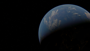
Doren burns in the aftermath of the Second Continental War. Photograph taken by departing Grestian colonists en-route to Eve, September 2nd, 2082.
Geography
Subcontinents
Feguanesia
Central Doren
North Doren
South Doren
Ravninny
List of states and territories
| Flag | Nation | Population | Area | Period | Subcontinent |
|---|---|---|---|---|---|
| Aenia | 15,484,596 | 43,452km² | 2057-2082 | Ravninny | |
| Algiza | 2,386,900 | 7,459 km² | 2045- | Feguanesia | |
| Amber | 5,730,111 | 39,768km² | 2077-282 | Ravninny | |
| Aquaria | 10,233,900 | 31,836km² | 2050-2115 | South Doren | |
| Arcadia | 21,632,179 | 59,719km² | 2035-2055 | Ravninny | |
| Fegeland | 7,591,842 | 48,625 km² | 2048- | Feguanesia | |
| Hermia | 2,818,974 | 9,262km² | 2072-2098 | South Doren | |
| Iconia | 7,907,160 | 43,349 km² | 2072-2072 | South Doren | |
| Owlia | 6,713,969 | 21,122km² | 2045-2120 | South Doren | |
| Sarconia | 15,424,000 | 48,200km² | 2115- | Central Doren | |
| Seifare | 44,328 | 498 km² | 2116- | Feguanesia | |
| Zeoul | 6,969,900 | 21,781km² | 2152-2153 | South Doren |