Iroa
|
Iroan Republic
جمهوری ایروا
Jamehori Ayroa |
|||||
|---|---|---|---|---|---|
 |
|||||
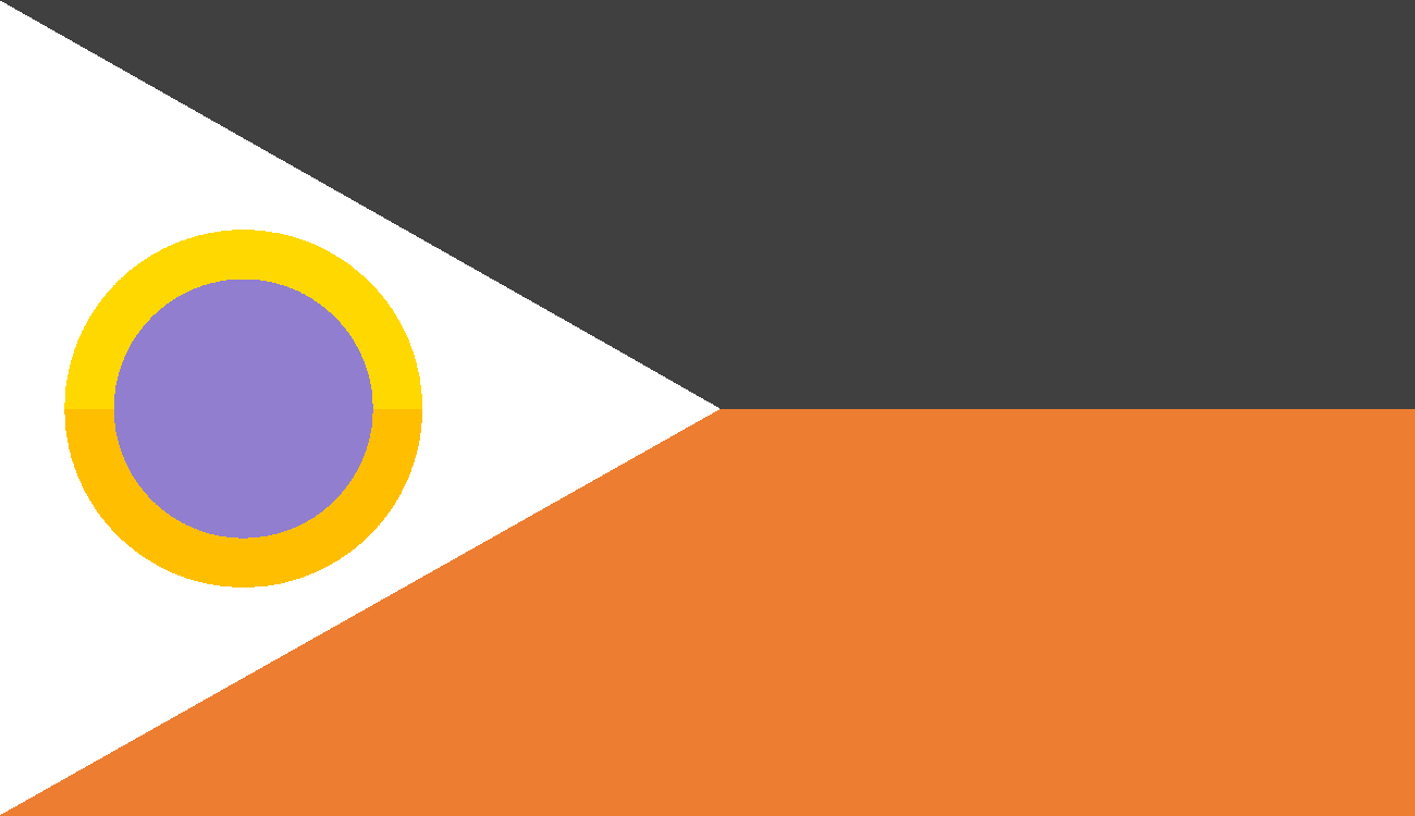
| The flag of Iroa, featuring its national symbol. | |||||
| Motto | "Bah jelo ba npam: Dar azadi" "Forward together; Free" |
||||
| Common Name | Iroa | ||||
| Anthem | "Vatanam" | ||||
 |
|||||
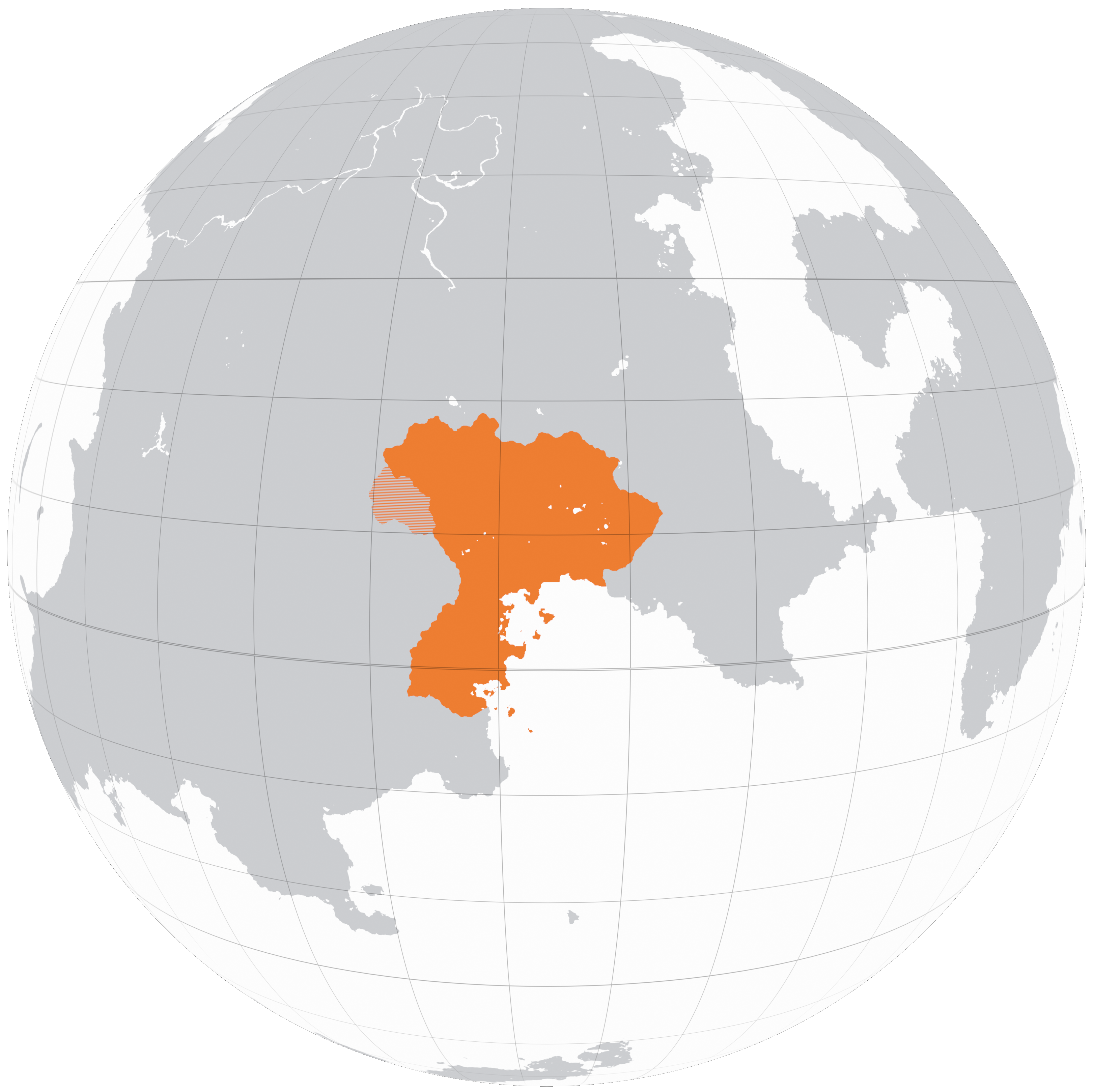
| A map of Iroa in Kolus, 2200 | |||||
| Demonym | Iroan | ||||
| Official languages | Granas, Basra | ||||
| Currency | Rút | ||||
| Politics | |||||
| Capital | Maslouf | ||||
| Government | Devolved unitary parliamentary republic | ||||
| Foundation | 2122 (Declaration of Independence) 2127 (Formal Recognition) |
||||
| First Minister | ? | ||||
| Preceded by | Granderia, Arcovdonia, Phoenia | ||||
| Demography | |||||
| Ethnicities | Granas - 48.8% Basra - 29% Iro Wuster - 5.1% Vagani - 5% Basargu - 4.5% Carsodon - 3.8% Tekkian - 3.4% Parast - 0.6% Wuster - 0.1% |
||||
| Population | 5,264,395 | ||||
| Area | 36,527 km² | ||||
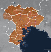
Iroa, officially the Iroan Republic is a country located in southeastern Kolus, founded in 2127 following a democratic revolution. It is a moderately sized country, the fifth largest in Kolus after Arcovdonia and before Nuvastia, covering an area of 36,527 square kilometers. As of 2200, following the annexation of the remnants of Carsodonia, the Republic consists of 11 provinces (velayat) further divided into governorates (estandari) and sometimes special districts (shahrestan). Notable cities include the capital: Maslouf, Iroa city, Mede, Marea and Taezh.
Iroa borders the Tekkian client state Granderia, and Sahrland to the east, and together with these nations is a member state of the Federation of Greater Aontas. To the southeast Iroa borders the Gulf of Iro from which it derives its namesake, the coastline featuring many peninsulas and islands, on which 71.4% of Iroa's population of 5,264,395 reside. Beyond the Karas mountain range which serves as Iroa's northern border are a collection of nomadic Koloan tribes which are known to make occasional raids. To the west, a region termed "al-Nufayat" (Vanadii, lit. "the wastes") lay to the west, rife with insurgency and smuggling. Lastly in the south, Iroa is in contact with the UIF treaty port of Qadae and parts of the Confederation which speak Iroan dialects.
