Rhudbeal: Difference between revisions
Jump to navigation
Jump to search
mNo edit summary |
mNo edit summary |
||
| Line 17: | Line 17: | ||
|population = 16,809 (2200 Estimate) |
|population = 16,809 (2200 Estimate) |
||
|denonyms = Rhud<br/>Rhudbeal(Possesive) |
|denonyms = Rhud<br/>Rhudbeal(Possesive) |
||
| − | |elevation = |
+ | |elevation = (Highest Point) 271 |
}} |
}} |
||
{{Location/Garrison |
{{Location/Garrison |
||
Revision as of 20:39, 23 May 2023
|
Rhudbeal
Rúidbheal
|
|||||||||||||||||||
|---|---|---|---|---|---|---|---|---|---|---|---|---|---|---|---|---|---|---|---|
| Autonomous Region | |||||||||||||||||||
 |
|||||||||||||||||||
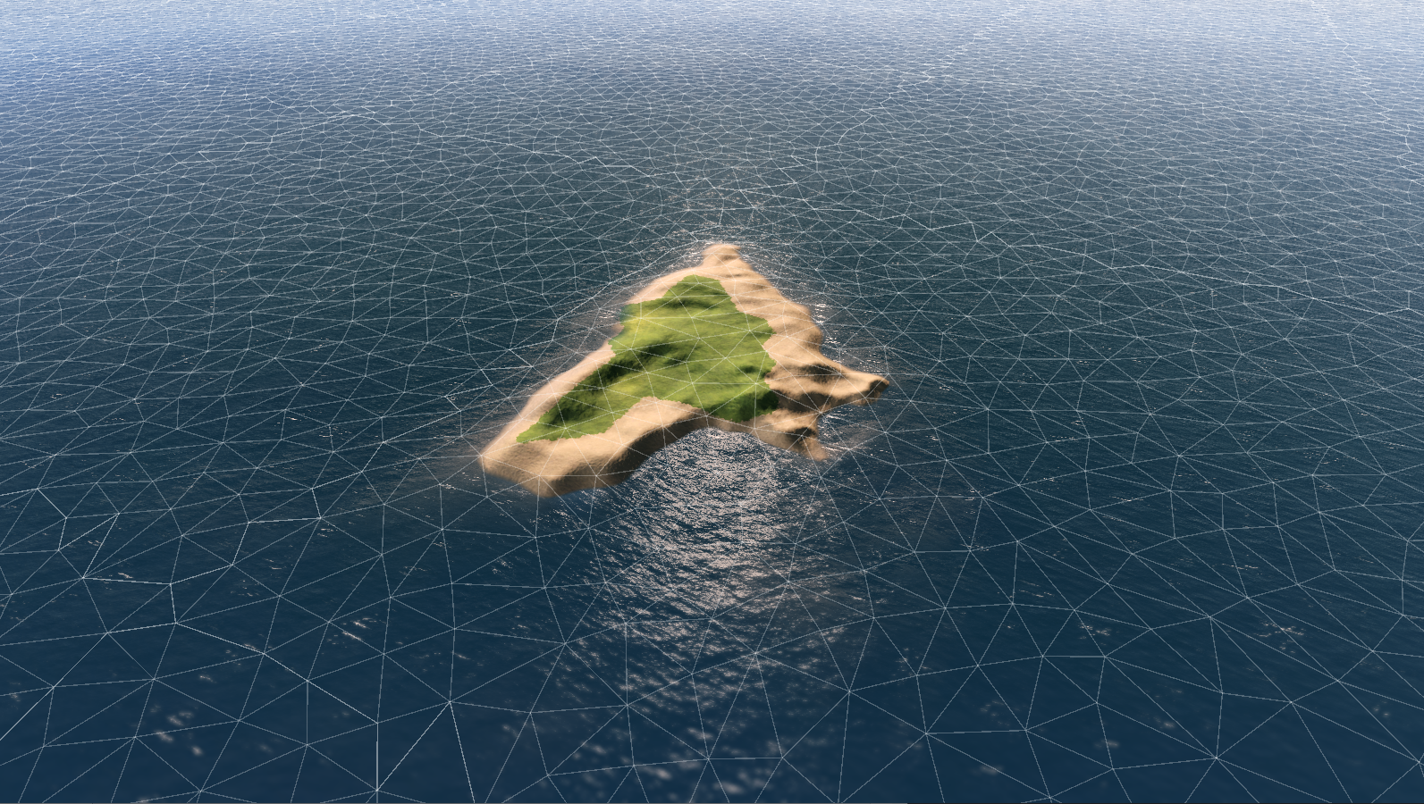
| Reconstructed Image of Rhudbeal Topography generated from successive overflights | |||||||||||||||||||
| Location | Gulf of Iro, Caledon (Continent) | ||||||||||||||||||
| Coordinates | -21° 0' 0" N, -124° 0' 0" E | ||||||||||||||||||
| Formally Settled | |||||||||||||||||||
| Vemáey 4th, 1489 | |||||||||||||||||||
| Urban Area | |||||||||||||||||||
|
|||||||||||||||||||
| Population | 16,809 (2200 Estimate) | ||||||||||||||||||
| Demonyms | Rhud Rhudbeal(Possesive) |
||||||||||||||||||
| Elevation | (Highest Point) 271 m (ASL) | ||||||||||||||||||
| Garrison Information | |||||||||||||||||||
| Current Commander | [person] | ||||||||||||||||||
| Garrison | [host force] | ||||||||||||||||||
| Occupants | [onsite forces or branches] | ||||||||||||||||||
| Port Classification | Blue | ||||||||||||||||||
| Size of Harbor | 510ha | ||||||||||||||||||
|
|||||||||||||||||||
Rhudbeal is an autonomous island district of Tekkia.

